Day 3, Stop 4
Moenkopi Formation Stop
GPS Location:
38o 14.536' N
111o 13.460' W
Ages:
Lower Triassic
Rock Units:
Moenkopi Formation
Features Present:
Unlike Stop 2-7, this is a good location to look at the stratigraphy (stacking of the rocks) as opposed to the surface features within individual beds. On the east side of the road (down the stream valley) are nice alternating silt and mud deposits that are characteristic of the Moenkopi Formation (Blakey 1973). On the west side of the road, post-depositional gypsum veins run throughout the outcrop (Figures 1 and 2). Oddly, the gypsum veins stop below the top of the outcrop, possibly due to stresses upon uplift or exposure.
Depositional Environment:
Tidal and floodplain, marginal marine.
This portion of the Moenkopi Formation was deposited when shallow water was covered the region, laying down alternating mud and silt rich layers. The muddy layers represent quieter or deeper waters, whereas the silt represents slightly more agitate or shallower water.
Interpretation:
The gypsum veins through the Moenkopi were a post-depositional feature where dissolved calcium sulfate rich waters circulated through cracks in the rock precipitating along bedding planes and microfaults.
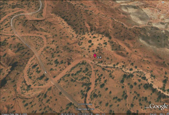
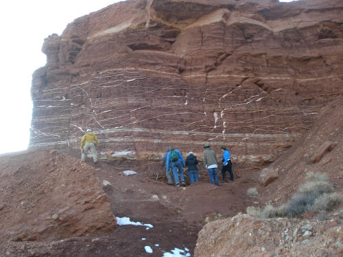
Figure 1: Gypsum veins running throughout the upper Moenkopi Formation directly underlying a Pleistocene Terrace.
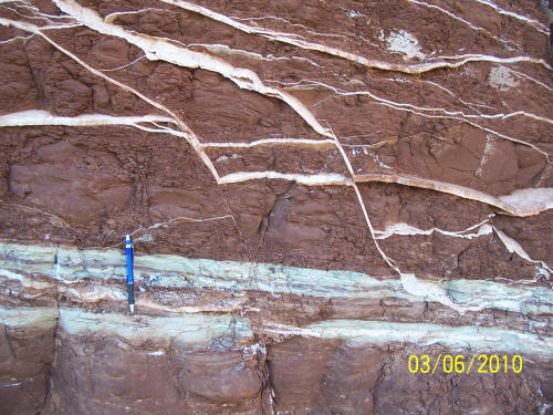
Figure 2: Close up of the gypsum veins showing the irregularity of the vein pattern.